Gold-rush site
Xiao Jingua outcrop (小金瓜露頭)
The outcrop on Jiufen hill where a prospector found gold in 1893.
Keelung Mountain (基隆山), about 588 m, rises right above Jiufen: its trailhead is 5 min on foot from the Jiufen Old Street bus stop, and the 267 m climb takes most walkers about 1 hour, without shade. Teapot Mountain above Jinguashi closed in October 2024, after landslides from Typhoon Krathon.
Updated
The trailhead stands at 321 m on Qiche Road, towards Geding, 5 min on foot from the Jiufen Old Street bus stop at a flat-ground pace. The trail climbs past three pagodas straight to the summit.
The summit has a pavilion and a viewing platform. On a clear day you see Bitou Cape lighthouse, the Yin Yang Sea, Keelung Islet, Heping Island and Taipei 101, with Jiufen right below.
Silver grass covers the slopes and gives no shade. The sea wind is strong and the weather changes quickly. Bring sunscreen, windproof clothing, water and rain gear, and look at the weather in Jiufen before you set out.
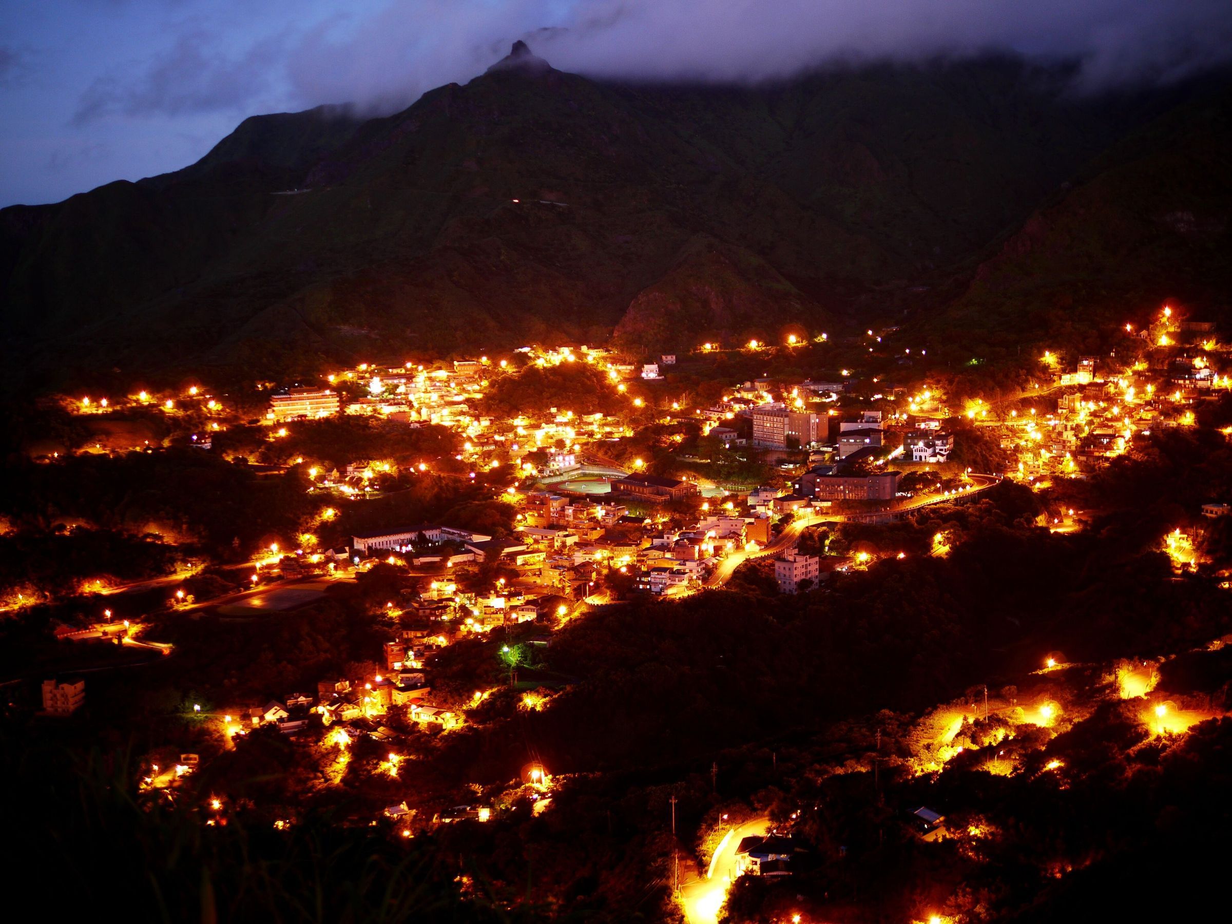
Teapot Mountain (茶壺山) rises to nearly 600 m over Jinguashi. From Jinguashi its rocky top looks like a teapot; from Shuinandong it looks like a lion, so it is also called Lion Rock Mountain.
Before the closure the walk took 1 to 1.5 hours from the trailhead beside the Gold Museum's flood-control bridge or from the one behind Quanji Temple, with views over the Yin Yang Sea, Keelung Mountain and all of Jinguashi. Both trailheads are in Jinguashi.
Shorter walks start in Jiufen itself and on the slopes below it.
| Trail | Start | End |
|---|---|---|
| Xiao Jingua trail (小金瓜步道) | Qinxian Junior High School, 415 m | Xiao Jingua outcrop, 545 m |
| Liulang Road trail (琉榔路步道) | Road 102 at km 12, 96 m | Qingbian Road, 270 m |
| Xiaocukeng old trail (小粗坑古道) | Trailhead on road 北37, 83 m | Songde Park, 278 m, over a ridge at 471 m |
Gold-rush site
The outcrop on Jiufen hill where a prospector found gold in 1893.
Park and trail junction
About 10 minutes' walk beyond the old street, named after the memorial stele of Yan Yun-nian, founder of Taiyang Mining. Trails lead from here to Houtong and Xiaocukeng.
Ridge walk
A ridge of hard sandstone southeast of Teapot Mountain. It is a popular hike, steep and exposed.
Short trail
Under 1 km long, with views of Keelung Mountain, the Yin Yang Sea, Banping Mountain and Teapot Mountain.
Silver grass (芒草) is the main plant on Keelung Mountain, and it flowers in autumn and winter.
It grows all along the Keelung Mountain trail, whose trailhead is 5 min on foot from the bus stop. It also flowers along the Nanzilin trail in the same season.
About 1 hour for most walkers, with breaks. The trail climbs 267 m from the trailhead on Qiche Road to the summit at about 588 m. The trailhead is 5 min on foot from the Jiufen Old Street bus stop, so the hike fits into a visit to the old street.
It closed in October 2024, when landslides from Typhoon Krathon broke the trail in several places. The repairs were expected to take 1 to 2 years at least. Ask the Ruifang District Office whether it has reopened before you go, and do not walk the trail while it is closed.
In autumn and winter. Silver grass is the main plant on Keelung Mountain, whose trailhead is 5 min on foot from the Jiufen Old Street bus stop. It also flowers along the Nanzilin trail, which is under 1 km long.
On a clear day the summit looks out over Bitou Cape lighthouse, the Yin Yang Sea, Keelung Islet, Heping Island and Taipei 101, with Jiufen right below. The summit has a pavilion and a viewing platform.
Sunscreen, windproof clothing, water and rain gear. On Keelung Mountain the silver grass gives no shade, the sea wind is strong and the weather changes quickly. Check the forecast before you set out: in nearby Keelung it rains on about 194 days a year.